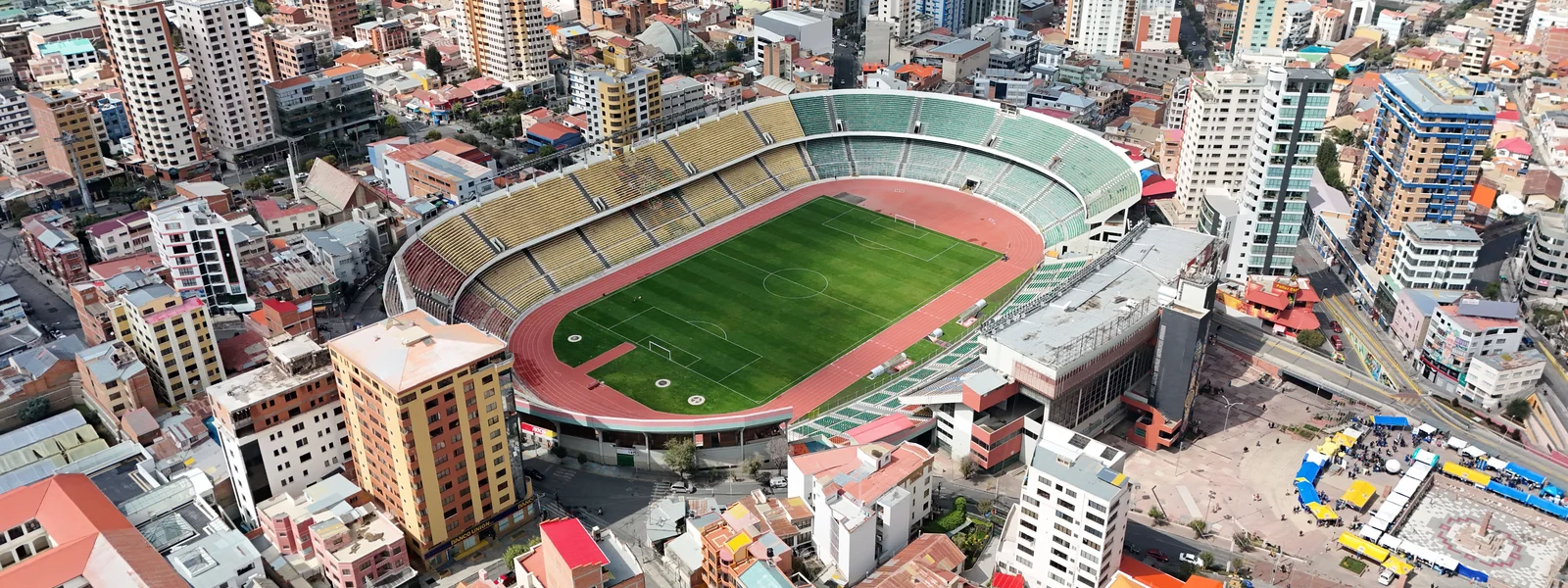
La Paz Data Guide
La Paz, the world's highest administrative capital at over 3,600 meters, is a dramatic city set in a canyon, famous for its cable car network (Mi Teleferico) connecting the city to El Alto, the witches' market, and the gateway role to the Andes and Lake Titicaca. This guide covers coverage, staying connected, and the offline habits that matter most.
The well-covered areas keep you connected; the remoter spots need offline prep. Plan accordingly and the connectivity takes care of itself.
La Paz: coverage and connectivity
La Paz, the world's highest administrative capital at over 3,600 meters, is a dramatic city set in a canyon, famous for its cable car network (Mi Teleferico) connecting the city to El Alto, the witches' market, and the gateway role to the Andes and Lake Titicaca. La Paz has good 4G coverage and 5G appearing across the city, with the cable car network, the central markets and the main districts reliably connected, while the surrounding high-altitude areas and the approaches to the mountains are patchier.
In the city itself, coverage is good for navigation, rideshare apps, messaging and staying in contact, reliably so across the central and main districts. This is where you do your connected work before heading anywhere more remote. The strong coverage means a travel eSIM turns the city into something you can navigate confidently on your phone, looking up routes, opening hours and recommendations on the spot.
Handle your connected tasks, booking, navigation, messaging and posting, in the well-covered areas before heading to any remoter spots. Confirm tour and trek logistics over WhatsApp while you have signal. Download offline maps for the high Andes, the Uyuni salt flats and remote southwest, and the Amazon basin in the north, where signal may drop, since GPS works without a mobile connection.
The offline reality of this area
The key connectivity habit here is downloading offline maps before exploring beyond the city. GPS works without a mobile signal, so a downloaded map lets you navigate even with no data connection. Pair that with confirming logistics over WhatsApp from a covered area beforehand, and the offline stretches become a non-issue.
What to expect on the ground
In the city, coverage is reliably good for everyday use, and a travel eSIM handles navigation, rideshare and staying in contact without difficulty. A Entel-based or multi-network eSIM gives the best odds across the varied coverage of this area, connecting to whichever operator has the strongest signal at each point.
Practical habits for this area
- Download offline maps. GPS works without signal, essential for the areas beyond the city and the most reliable single precaution.
- Confirm logistics in advance. Sort treks, tours and transfers from covered areas while you have signal.
- Keep your phone secure in crowds. As in any city, guard your phone in crowded areas and on transport, a safety habit rather than a coverage issue.
- Use accommodation wifi at night. Keep your eSIM data modest by saving streaming and backups for wifi.
- Screenshot the essentials. Save addresses, booking confirmations and meeting points so a signal drop does not strand you.
How much data for this area
Moderate, used for navigation, rideshare, browsing and posting through the day, with accommodation wifi for the evenings. A few days in the city fits comfortably in a 5 GB plan.
Getting around the city
In this city, a connected phone is a practical tool: rideshare and taxi apps work reliably on the good coverage, live navigation guides you through unfamiliar streets, and you can look up restaurants, opening hours and routes on the spot. A travel eSIM makes all of this seamless, turning the city into something you can explore confidently with your phone as guide. The usual urban habit of guarding your phone in crowded areas applies, which is a general travel precaution rather than a connectivity concern.
The cable cars and getting around La Paz
La Paz is famous for Mi Teleferico, the world's most extensive urban cable car network, which connects the canyon city to El Alto on the rim and is a genuine form of public transport as well as a spectacular ride. The cable car stations and routes run through well-covered areas, so you stay connected mapping your journey and navigating between the central districts, the witches' market, and the viewpoints. Rideshare and taxi apps work on the good city coverage, useful given the steep terrain and altitude that make walking uphill a challenge for newly arrived visitors still adjusting to 3,600 meters.
Which network for this area
A Entel-based or multi-network eSIM is the safest choice, because Entel has the broadest reach and a multi-network plan connects to whichever has signal in the patchier areas. In the city all networks work well; the choice is close to irrelevant. The network helps on the margins; offline preparation covers the genuine dead spots.
Where we land
For La Paz and this area, a Entel-based or multi-network eSIM handles the well-covered parts well, with the areas beyond the city treated as offline via downloaded maps and advance planning. Our Bolivia plans ride the strongest available network across the area, with top-up if a longer stay needs it.
Plans for Bolivia
FAQ
Is there mobile coverage in La Paz?
Good 4G coverage across the city for navigation, rideshare, messaging and posting. La Paz has good 4G coverage and 5G appearing across the city, with the cable car network, the central markets and the main districts reliably connected, while the surrounding high-altitude areas and the approaches to the mountains are patchier. Download offline maps for the remoter parts and confirm logistics from covered areas. A Entel-based or multi-network plan gives the best odds.
How much data does a visit to La Paz use?
Moderate, used for navigation, rideshare, browsing and posting, with accommodation wifi for evenings. A few days fits comfortably in a 5 GB plan.
Which network is best for La Paz?
A Entel-based or multi-network eSIM is the safest choice, because Entel has the broadest reach and a multi-network plan connects to whichever has signal in the patchier areas. In the city all networks work well.
How do I stay navigable in La Paz?
Download offline maps before heading to the areas beyond the city, since GPS works without signal. Confirm tour, trek or transfer logistics from a covered area while you have signal. Screenshot meeting points and addresses so a signal drop does not strand you.
What are the coverage gaps around La Paz?
The main gaps are the high Andes, the Uyuni salt flats and remote southwest, and the Amazon basin in the north. The well-covered areas are the city and main districts. Plan offline preparation for any treks or excursions to the remoter areas, with downloaded maps and confirmed logistics.