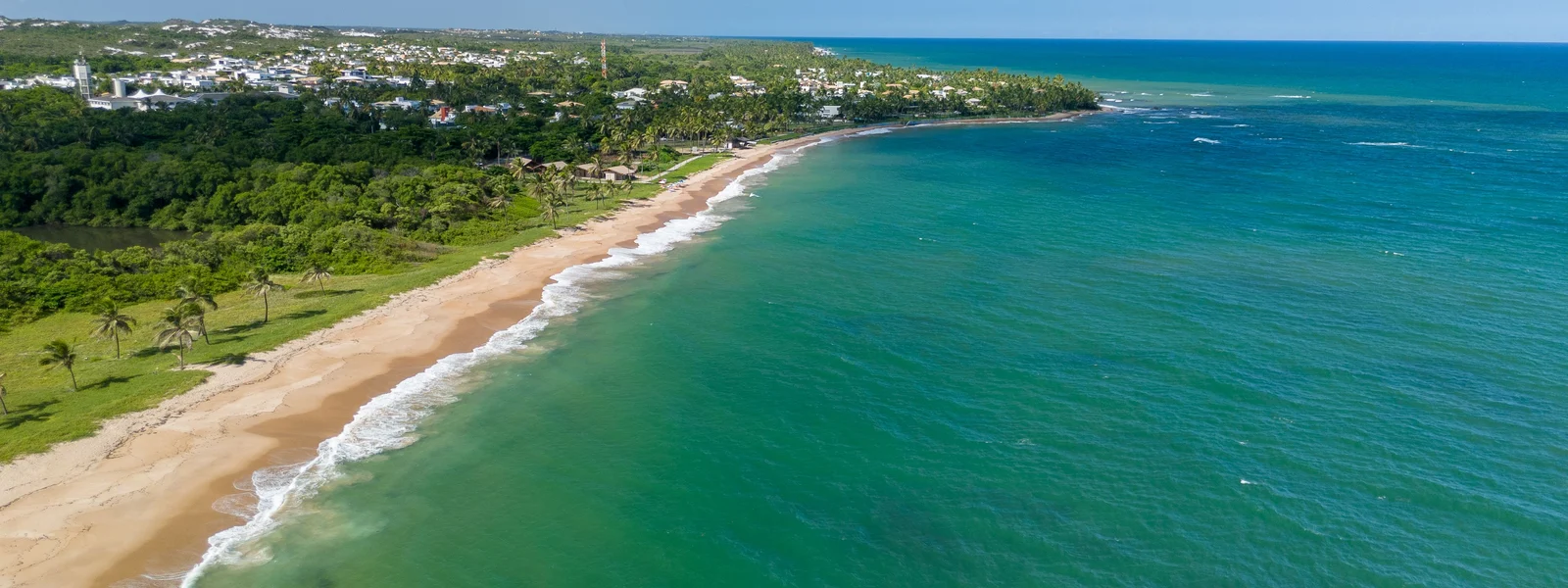
Blue Mountains & Port Antonio Guide
The Blue Mountains and the east are Jamaica's quieter, wilder face: the misty peaks that give the world-famous Blue Mountain coffee, the highest point on the island, and the laid-back eastern coast around Port Antonio with its lagoons, waterfalls and old-world charm. For connectivity, it follows a gentle pattern: the towns and lodges are covered and the mountain trails and remote eastern stretches are patchier. This guide maps coverage across the region, where to expect signal and where not, and staying navigable on this beautiful, slower coast.
The coffee-country lodges have signal; the Blue Mountain Peak trail does not. The wild, slow feel is the appeal, so plan your connected tasks for the towns and enjoy the heights and lagoons offline.
The Blue Mountains and east: coverage by area
The towns, lodges and main areas of this region have workable 4G coverage. The coffee-country settlements and lodges in the Blue Mountains, and Port Antonio town with its harbor and nearby attractions, are connected for navigation, messaging, booking tours and posting. The coverage thins as you head up the mountain trails toward Blue Mountain Peak, into the higher and remoter parts, and along the quieter eastern coast. As elsewhere in Jamaica, the towns and lodges are your connected bases and the wild heights and remote stretches are where signal fades.
| Area | Coverage | What to expect |
|---|---|---|
| Blue Mountains towns & lodges | 4G | Workable in the coffee-country settlements and lodges. |
| Blue Mountain Peak trail | Patchy to none | The high hiking trail loses signal on the climb. |
| Port Antonio town | 4G | Good in the laid-back eastern town and harbor. |
| Blue Lagoon & nearby attractions | 4G to variable | Coverage near the town; patchier at remoter spots. |
| Remote east & Reach Falls | Variable to patchy | The remoter eastern coast and waterfalls thin out. |
The signature Blue Mountains adventure is the pre-dawn hike to Blue Mountain Peak, the highest point in Jamaica, to watch the sunrise. The high trail is largely offline, with signal dropping as you climb. This is fine: the hike is usually a guided overnight or pre-dawn trip that handles the logistics, and you do not need to be connected on a mountain trail. Download offline maps, confirm your guide and lodge from a covered area beforehand, and treat the climb as a disconnected adventure.
Staying navigable on the coast and in the mountains
The region involves driving the eastern coast and heading into the mountains where signal can drop, so a little offline preparation helps.
- Download offline maps of the region. Save the Blue Mountains and eastern coast before exploring, since GPS works offline on the mountain and rural roads.
- Confirm tours and lodges in town. Book the Blue Mountain Peak hike, coffee-farm tours and Blue Lagoon trips from a covered area where you have signal.
- Protect your phone for lagoons and waterfalls. A dry bag guards against water at the Blue Lagoon, Reach Falls and on river trips.
- Carry a power bank for the peak hike. The pre-dawn climb is long and offline, draining the battery while your phone is your camera for the sunrise.
Which network for the Blue Mountains and east
For this region, a Digicel-based or multi-network eSIM is the safest choice, because Digicel has the broadest island reach and a multi-network plan connects to whichever has signal in the patchier areas, the high trails, the remote east and the rural roads. In the towns and lodges either network works. The network choice helps you stay connected on the margins; offline preparation covers the genuine dead spots on the peak trail and at remote waterfalls.
How much data for the region
The Blue Mountains and east are light on data, used in the towns and lodges for navigation, messaging, booking tours and posting, with the high trails, lagoons and remote spots offline. A few days in the region, folded into a wider Jamaica trip, adds little to your total, which is why a 5 GB plan often covers an itinerary including the resort coasts, Kingston and the east. A longer mountain or coastal stay might use a touch more, handled with top-up.
Where we land
For the Blue Mountains and Port Antonio, a Digicel-based or multi-network eSIM handles the towns and lodges well, with the peak trail, the lagoons and the remote east treated as partly offline via downloaded maps and town-based planning. Coverage follows the Jamaican pattern: connected towns, wild offline heights. Our Jamaica plans ride the strongest available network across the region, which is what its mix of connected coffee-country lodges and remote mountains and coast calls for, with top-up if a longer stay needs it.
Plans for Jamaica
Jamaica eSIM plans
Prices in USD. Instant QR activation. Pick your data, land connected.
FAQ
Is there mobile coverage in the Blue Mountains?
The towns, lodges and coffee-country settlements have workable 4G coverage. The signal thins as you head up the mountain trails toward Blue Mountain Peak and into the higher, remoter parts. Plan your connected tasks in the towns and lodges and treat the high trails as offline, with a Digicel-based or multi-network plan for the best odds. The Blue Mountain Peak climb itself is largely offline.
Will my phone work hiking Blue Mountain Peak?
Mostly no. The pre-dawn hike to Blue Mountain Peak, the highest point in Jamaica, is largely offline, with signal dropping as you climb. This is fine since the hike is usually a guided overnight or pre-dawn trip that handles the logistics. Download offline maps, confirm your guide and lodge from a covered area beforehand, carry a power bank for the sunrise photos, and treat the climb as a disconnected adventure.
Is there coverage in Port Antonio?
Yes, Port Antonio town has good 4G coverage in the laid-back eastern town and harbor. The nearby attractions like the Blue Lagoon are covered near the town, while the remoter eastern coast, Reach Falls and the quieter stretches are patchier. Port Antonio is your connected base for the east; download offline maps before heading to the remoter waterfalls and coast.
Which network is best for the Blue Mountains and east Jamaica?
A Digicel-based or multi-network eSIM is the safest choice, because Digicel has the broadest island reach and a multi-network plan connects to whichever has signal in the patchier areas like the high trails, the remote east and the rural roads. In the towns and lodges either network works. The network helps on the margins; offline preparation covers the dead spots on the peak trail and at remote waterfalls.
How much data does the Blue Mountains and Port Antonio region use?
Light, used in the towns and lodges for navigation, messaging, booking tours and posting, with the high trails, lagoons and remote spots offline. A few days in the region, folded into a wider Jamaica trip, adds little to your total, which is why a 5 GB plan often covers an itinerary including the resort coasts, Kingston and the east. A longer stay might use a touch more, handled with top-up.